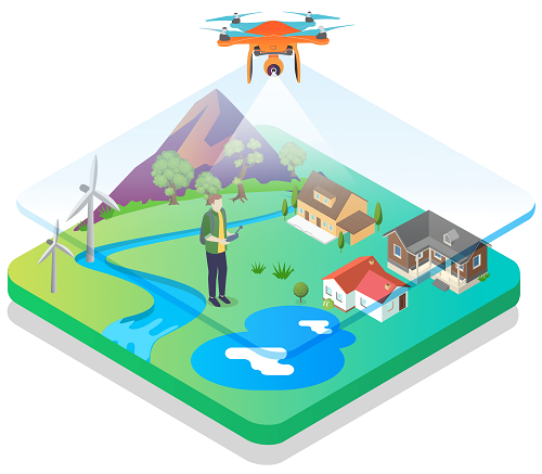
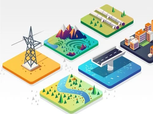
Land mapping and surveying with the use of drones, equipped with high-resolution sensors and cameras are used to collect accurate and geotagged data of land. Specialized photogrammtery softwares processes this data into standardized GIS outputs. Terrains inaccessible by man can be easily surveyed without any risks from different heights and various camera angles to give you the perfect lay of the land to plot your next infrastructural project. Timely assessments can be efficiently taken with ease, without hindrance to any work giving you the clarity of your next step. This technology provides accurate and detailed information that can be used for a wide range of applications, including land surveying, urban planning, infrastructure development, inspection and natural resource management. With the ability to cover large areas quickly and safely, drone land mapping and surveying has become an increasingly popular choice for professionals in various industries seeking efficient and precise mapping solutions.
Key Benefits
Accuracy
Drones equipped with advanced sensors and cameras can capture highly accurate data, providing precise measurements and mapping for various land surveys.
Efficiency
Land mapping with drones is a much faster and more efficient way to survey land compared to traditional methods, covering large areas in a short amount of time.
Safety
Using drones for land mapping eliminates the need for workers to climb tall structures or work in dangerous areas, reducing the risk of accidents and injuries.
Economical
Land mapping using drones is typically more cost-effective than traditional land surveying methods. It reduces the need for expensive equipment, labour, and travel costs.
Deliverables
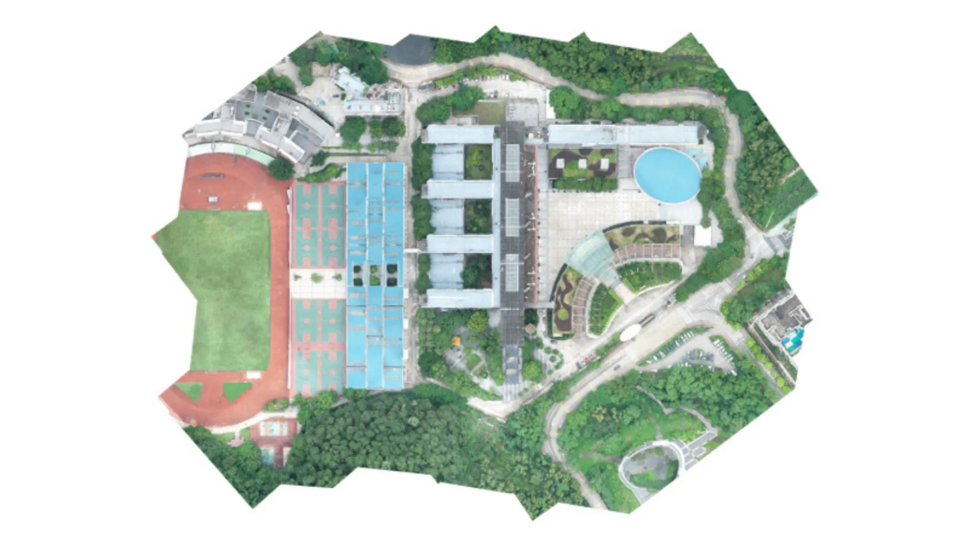
Orthomosaic Maps
Orthomosaic Maps
Orthophoto is a high resolution aerial image stitched together by a specialized software and corrected for perspective, camera tilt, lens distortion and terrain relief, creating a georeferenced image map that can be used for accurate mapping and measurement. This technology is often used in industries such as agriculture, construction, and land surveying.
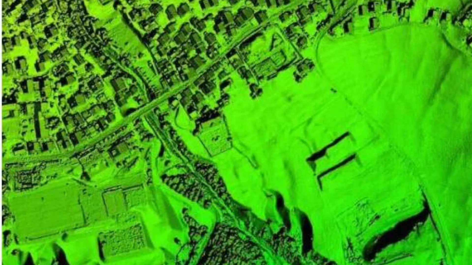
DSM
DSM
Drone DSM (Digital Surface Model) is a high-resolution 3D model of the Earths surface that captures all the features and objects present on the ground, including trees, buildings, and other structures. It provides valuable information for applications such as urban planning, land use management, and environmental monitoring.
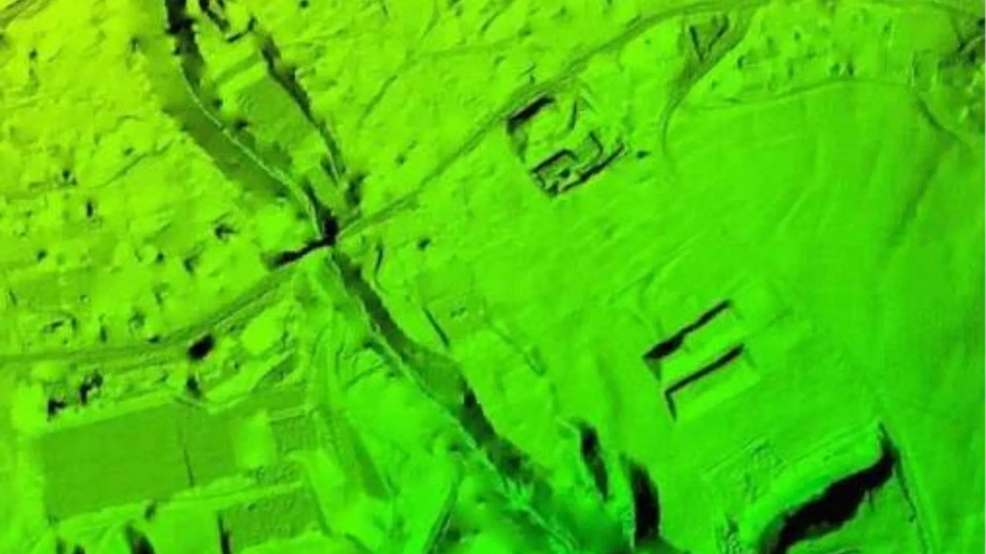
DTM
DTM
Drone DTM (Digital Terrain Model), is a high-resolution 3D model that represents the bare ground surface without any objects or vegetation present on the terrain. It provides information about the topography of an area and is useful for applications such as land surveying, flood modelling, soil erosion analysis, and infrastructure planning.
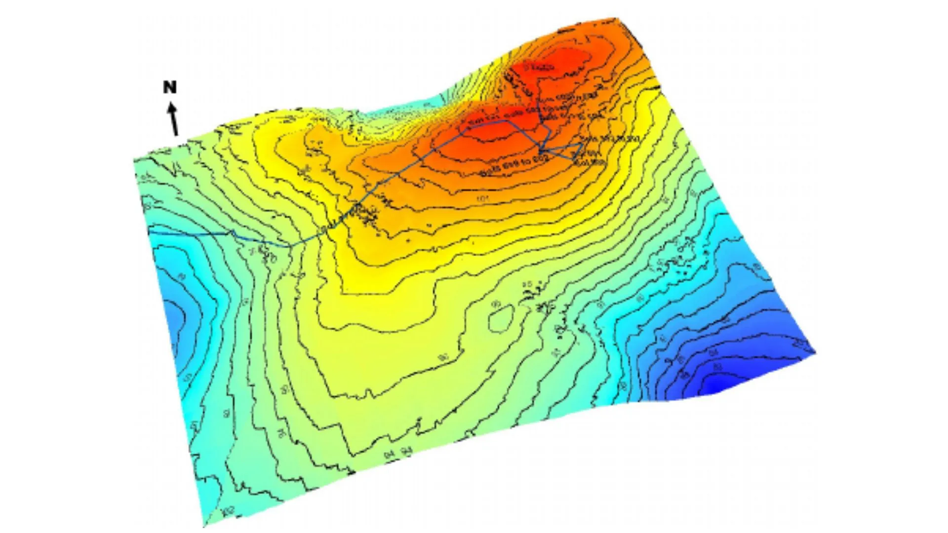
Countour Maps
Countour Maps
Contours are lines that connect points of equal elevation on a DTM or DSM. They provide valuable and high accuracy information about the topography of an area, including the steepness of slopes and the shape of the terrain. Contour maps created from drone data are useful for a variety of applications, including land use planning, construction, and natural resource management.
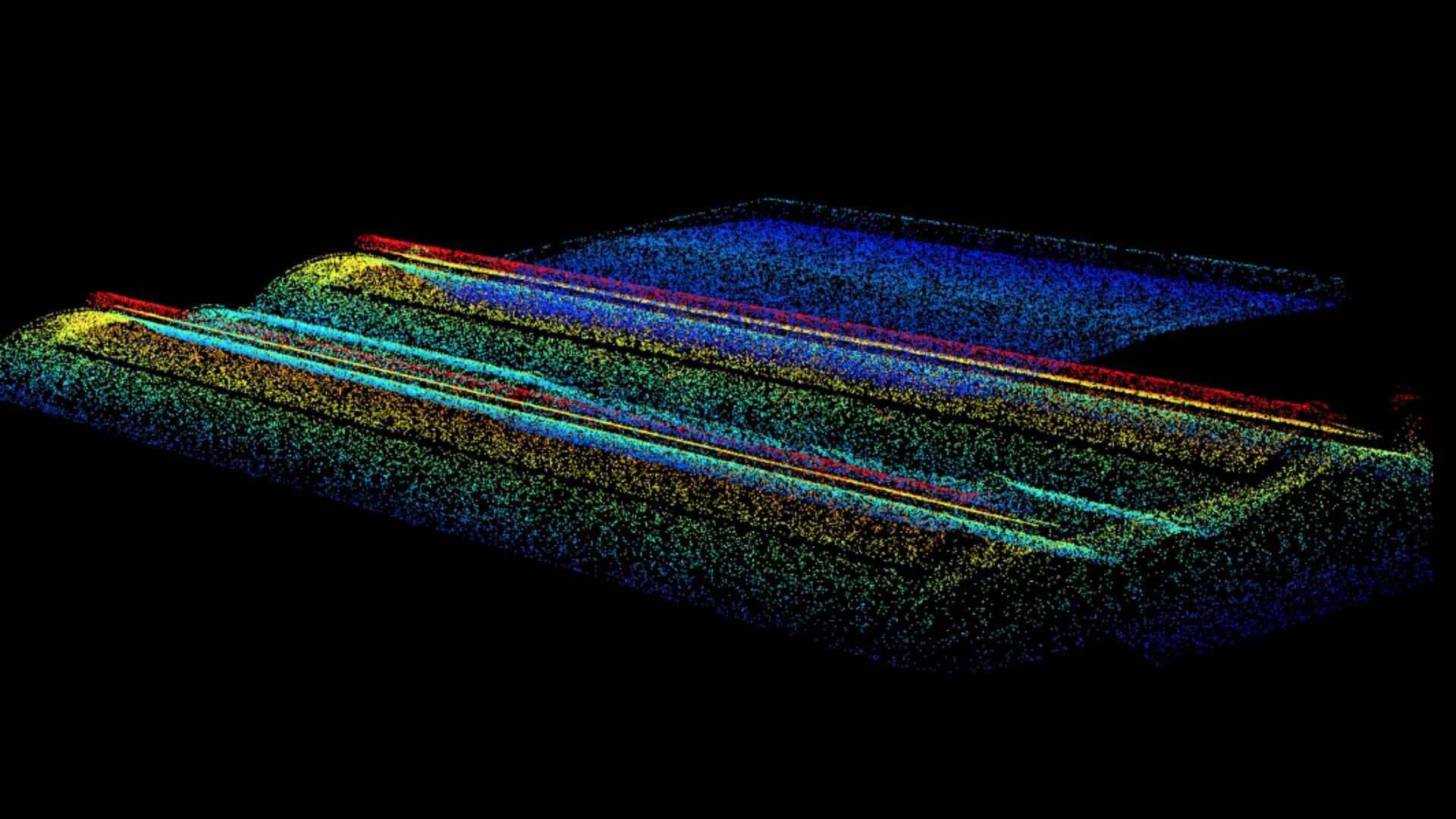
3D Point Cloud
3D Point Cloud
3D Point Cloud is a collection of millions of georeferenced data points in 3D space captured by drones camera system. Each point represents a specific location in the surveyed area and has a corresponding elevation value. The points together denote the surfaces of objects and terrain features within an area, which allows surveyors to create extremely accurate 3D maps and models of those areas.
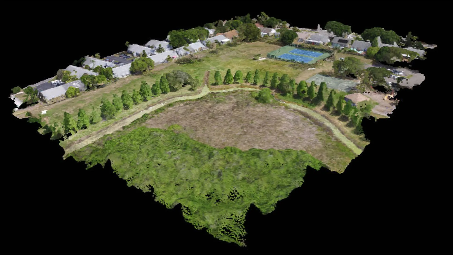
3D Textured Mesh
3D Textured Mesh
This is a 3D model created from drone data that includes both geometry and texture information. It is derived from the point cloud by creating a mesh of millions of interconnected faces and painting each one with the color and texture from the original photos. This is useful for applications such as visualizing architecture, engineering, and construction projects, as well as creating virtual reality experiences.
