PROCESS

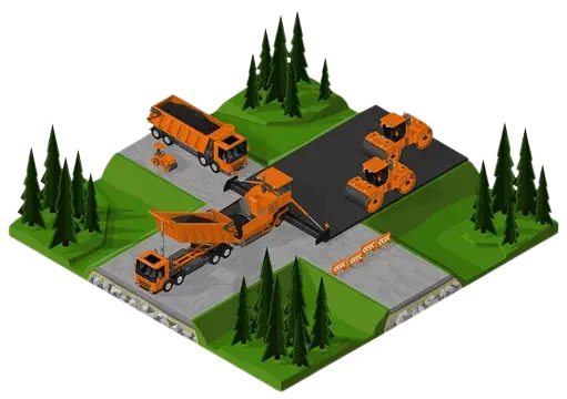

Drone based Geo-tagged Road Survey Video
Geotagged video road surveying using drones is a highly effective method for monitoring construction progress. By capturing high-resolution videos from above, drones provide a comprehensive view of the construction site and enable project managers to track progress in real-time. Geo-tagging is a process of embedding geographical identification metadata (coordinates such as longitudes, latitudes etc.),and also chainage number for each video frame. In road surveys, geo-tagged video acts as a report to document the construction progress with accurate geospatial information.
Monitoring greenfield areas that do not have road accessibility can also be achieved quickly and easily. This allows construction teams to plan and design construction projects with greater accuracy, taking into account the unique features and characteristics of the land. It also enables construction teams to identify potential challenges early on and take proactive measures to mitigate them. This technology allows for efficient progress tracking, ensuring that construction projects stay on schedule and within budget. With the ability to quickly identify areas that need attention or have fallen behind schedule, construction teams can take corrective action sooner rather than later, ultimately leading to a more successful project outcome.
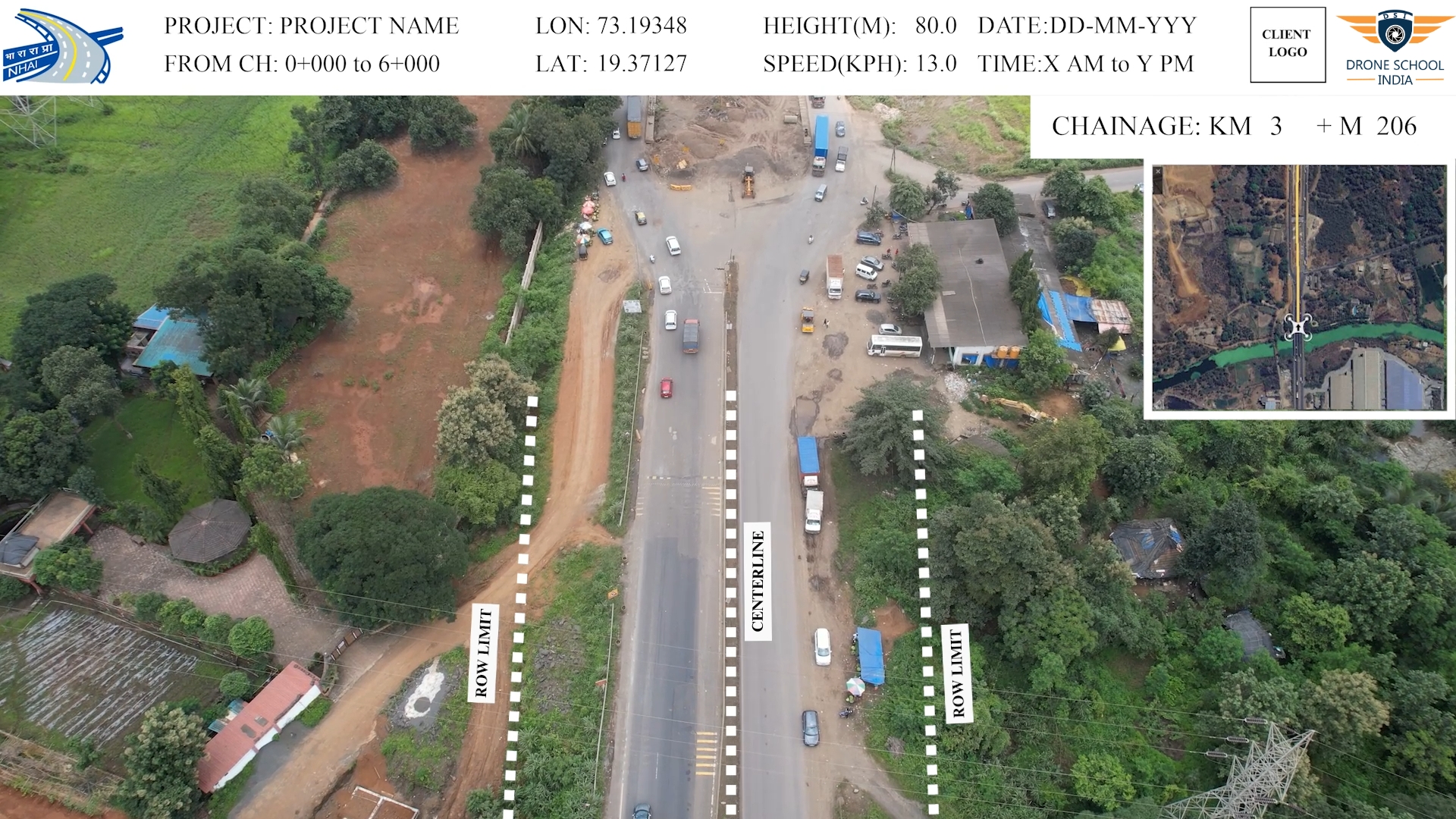
In order to enhance transparency, uniformity and leverage latest technology, The National Highways Authority of India (NHAI) has made drone surveys mandatory for highway projects. Under this requirement, drone surveys are conducted at various stages of the highway project, including pre-construction, during construction, and post-construction phases. The use of drones for highway surveys offers several advantages over traditional surveying methods. Firstly, it allows for more comprehensive and accurate data collection, as drones can capture high-resolution images and videos of the entire project site. This enables project managers to make more informed decisions and adjustments throughout the project lifecycle. Additionally, drone surveys are faster and more cost-effective than traditional surveying methods. They require fewer personnel and can cover large areas in a short amount of time, reducing the time and cost required for data collection. By making drone surveys mandatory for highway projects, NHAI is ensuring that construction projects are completed with greater accuracy and efficiency.
Key Benefits
High Accuracy
Track Progress
Reproducibilty
Time Effecient
Economical
Improved Safety
Informed Decisions
Enhanced Transparnecy
